
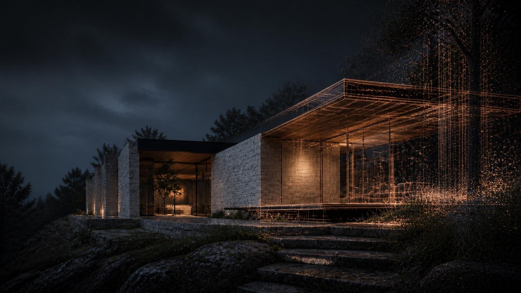
Capture and model
LiDAR, photography, plans, point clouds, and reference material shaped into useful spatial context and custom models.
Begin with the place that already exists.
Property capture and source material create a more grounded starting point for visualization, option studies, additions, and interactive experiences.
House of KNA capability study. This image is not presented as client work.
Scope
Property LiDAR capture
On-site spatial capture for existing-condition context and model development.
Scan and reference alignment
Point clouds, photography, plans, and available CAD organized into a usable visual reference.
Scan-to-model development
Captured conditions translated into fit-for-purpose geometry for design and visualization work.
Custom asset creation
Buildings, rooms, products, and site elements modeled for the experience they need to support.
Capture and visualization support design communication and coordination. Survey, engineering, code, and construction authority remain with the appropriate licensed professionals.
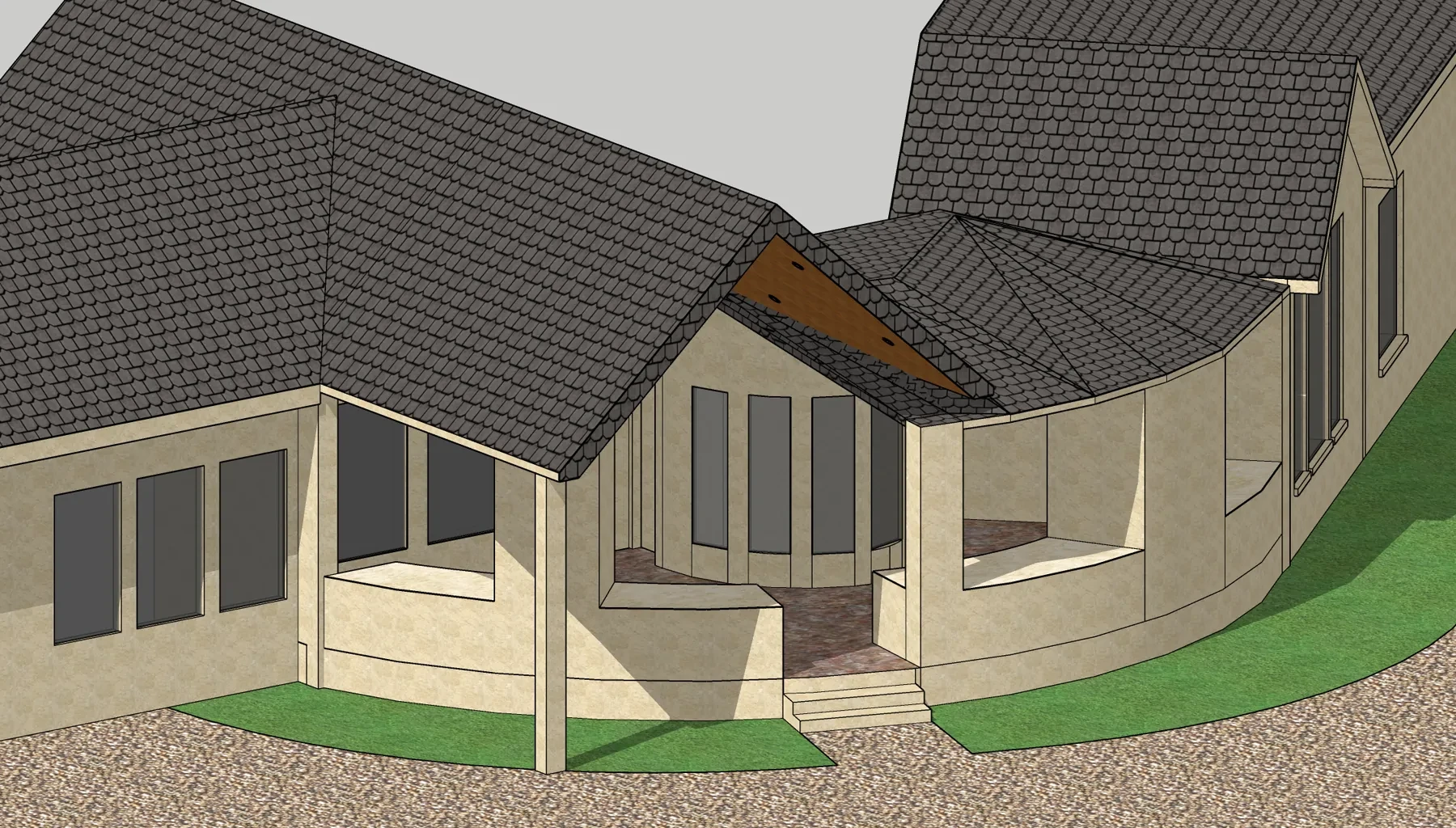
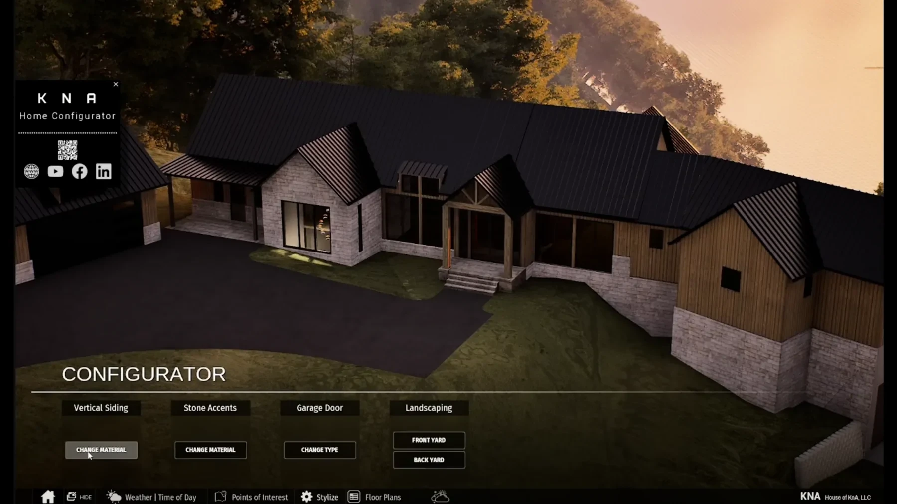
Built around the decision.
The exact tools change with the project. The working rhythm stays direct.
Where it fits
Existing properties
Renovation and additions
Spatial visualization and interactive work